Villas & Resorts
Aerial stills and showreels for listings, OTA profiles and seasonal campaigns, showing what surrounds the property rather than only what is inside it.
Villas & Resorts →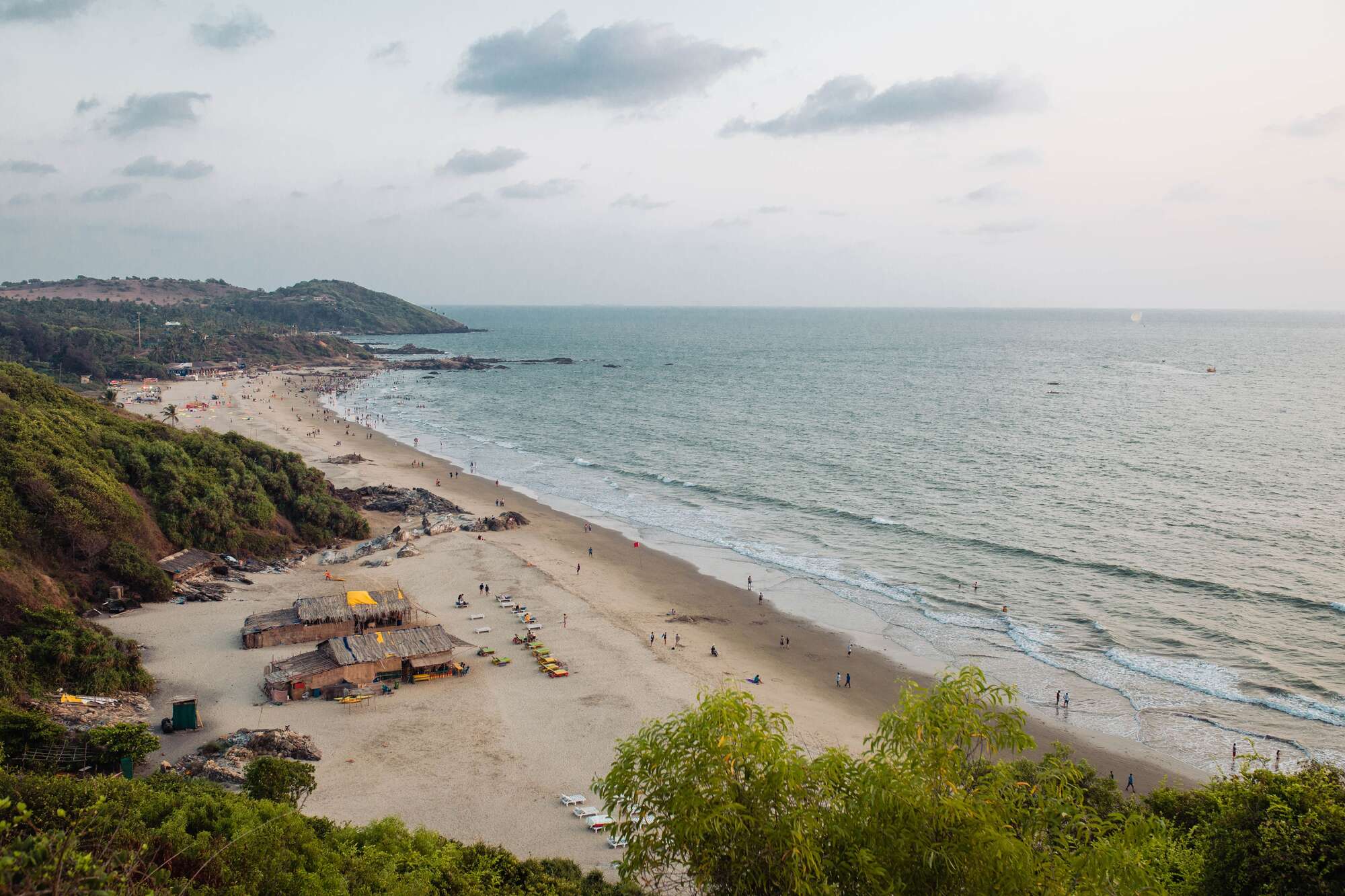
Home › Real Estate Drone Photography
Property & hospitalityAerial photography and video for property across Goa: villas and resorts, commercial premises, land parcels, project sites and completed builds.
Every property decision in Goa turns on something a ground level photograph cannot show: what adjoins it, how you reach it, and how far the sea really is. One aerial frame answers all three, which is why it tends to be the image a serious enquiry acts on.
Hospitality, meaning villas, resorts and homestays marketing themselves to guests. Commercial premises, meaning restaurants, beach clubs, retail and warehouse units, and progress documentation for developers. And land, meaning parcels and plots where a buyer needs to see boundaries, access and context before committing. Each has its own page below, because each is a different brief rather than a different angle on the same one.
Elevation frames that place the property against its surroundings. Access and approach in shot, because that is the question buyers and guests actually ask. Golden hour and blue hour where the building is the subject. And repeat flights from recorded positions when the work runs across months rather than a single visit.
Aerial stills and showreels for listings, OTA profiles and seasonal campaigns, showing what surrounds the property rather than only what is inside it.
Villas & Resorts →Restaurants, beach clubs, hotels, retail and warehouse units, plus progress documentation for developers from matched flight positions.
Commercial →Boundaries, access and distance to the sea for buyers who are not in Goa. Marketing imagery, not a legal survey.
Land & Plots →
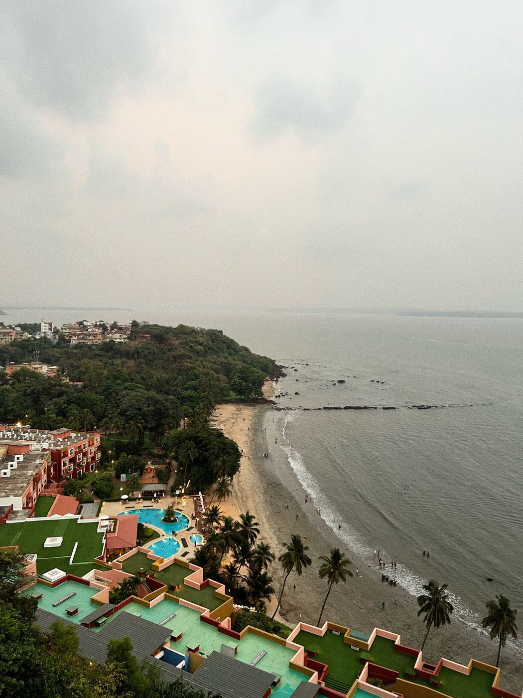
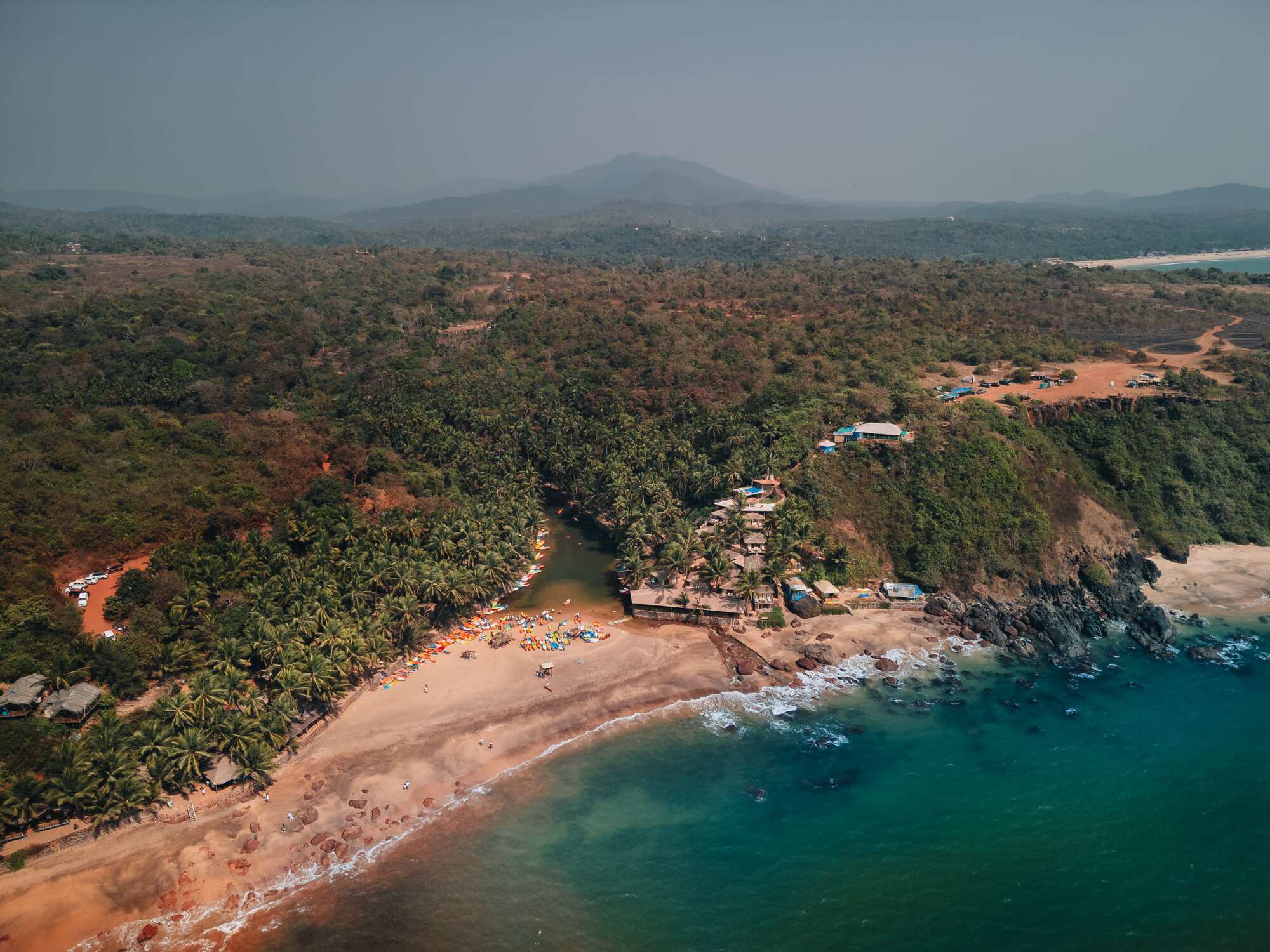
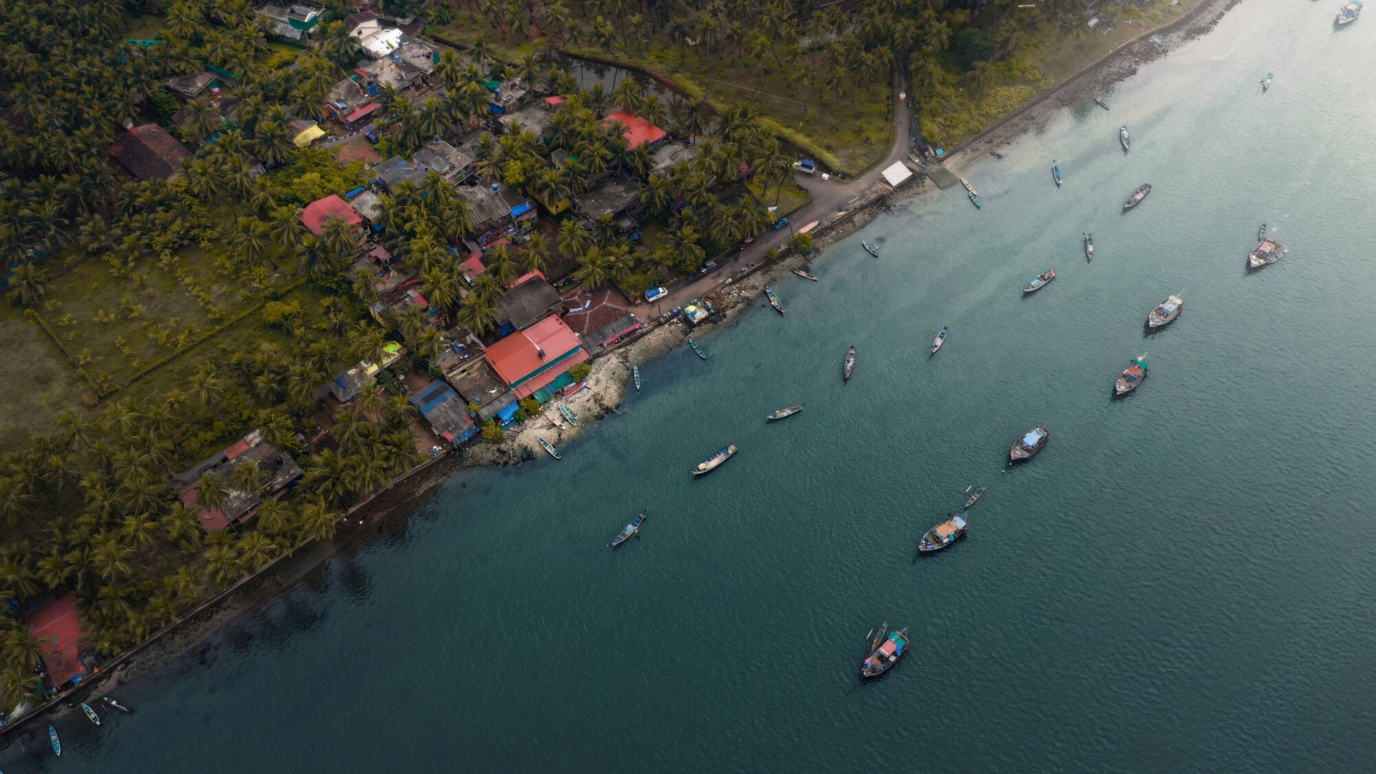
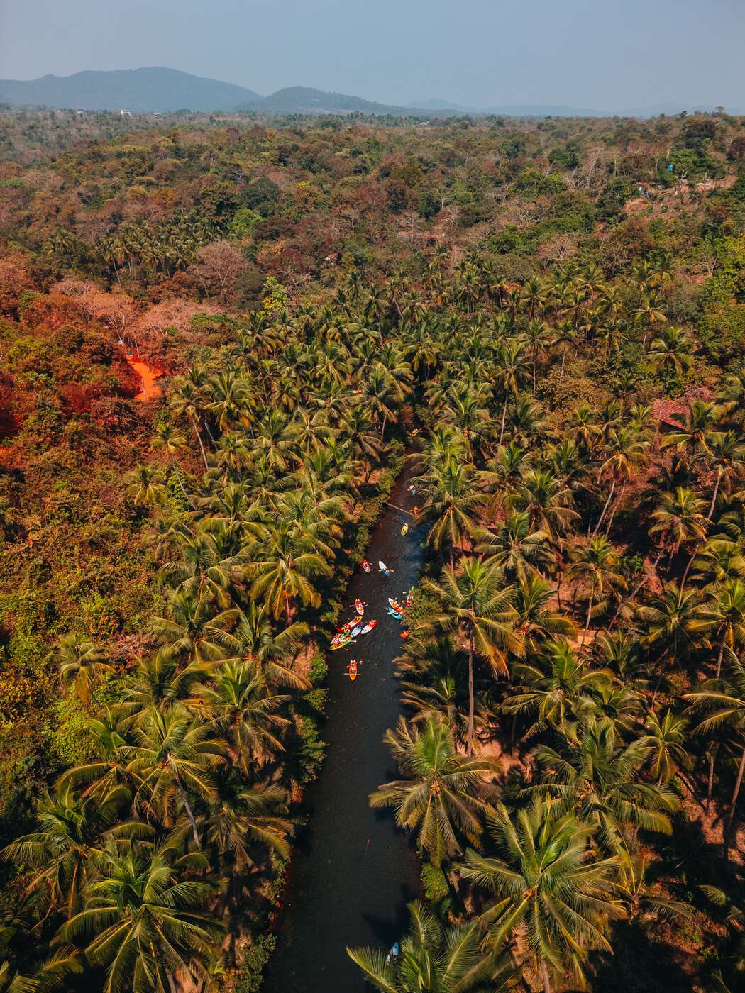
Reference aerials of the Goa coastline. Client work is shown on request and is not published without permission.
If you let the place to guests, start with villas and resorts. If you are leasing, selling or marketing a business premises, or documenting a build for a developer, start with commercial. If you are buying or selling raw land and need to see boundaries, access and what adjoins it, start with land and plots. If the job spans two of those, send the details and we will quote it as one visit where the locations allow.
Both, and the brief differs more than the flying does. An owner usually wants the property to look its best; an agent wants frames that answer buyer questions before they are asked; a developer wants a dated record that compares month to month. Tell us which you are and what the images have to do, because it changes the shot list rather than the price.
Short property shoots are delivered within three working days as standard, and faster if a listing is going live on a fixed date. Tell us the deadline when you enquire.
Yes. We record the flight positions and altitudes on the first visit and repeat them on each subsequent one, so the images are directly comparable month to month. That makes them genuinely useful for investor updates rather than just nice to look at.
With DGCA-registered equipment and a certified remote pilot, and subject to the airspace at the site. Areas near Dabolim airport and naval installations are restricted, and some parcels sit inside yellow zones needing prior clearance. We check Digital Sky before quoting.
That's all we need to quote. Every shoot is priced on location, hours and deliverables — you'll have a firm number the same day, not an estimate that moves later.
WhatsApp us now